Log in
All resources
Create a design
40,209 Free Images of Engraved Maps
maps in the library of congress
atlas de wit 1698
atlante veneto (raremaps.com) volume 2
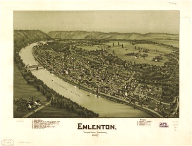
pennsylvania
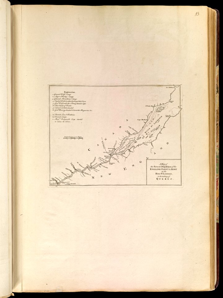
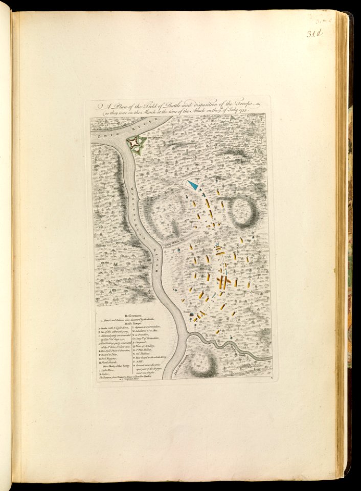
maps of the french and indian war
braddock road (braddock expedition)
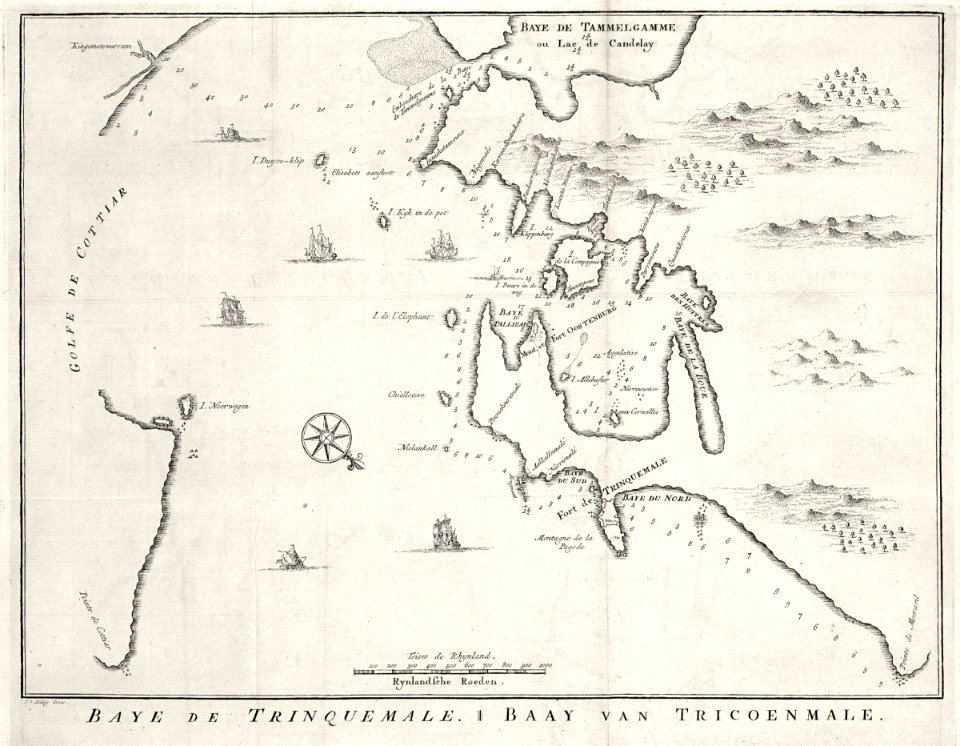
maps of the dutch east india company - sri lanka
1768 maps
1897 maps of allegheny county
maps of the west-indische compagnie
maps in the library of congress
pennsylvania
maps by matthäus seutter
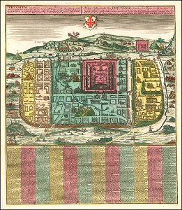
old maps of jerusalem
johann baptist homann
1762 maps
pennsylvania
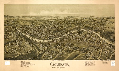
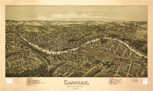
carnegie
old maps of lake constance
old maps of switzerland
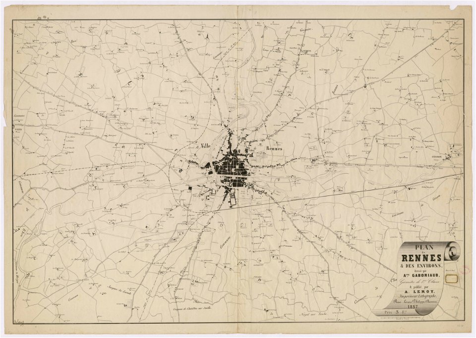
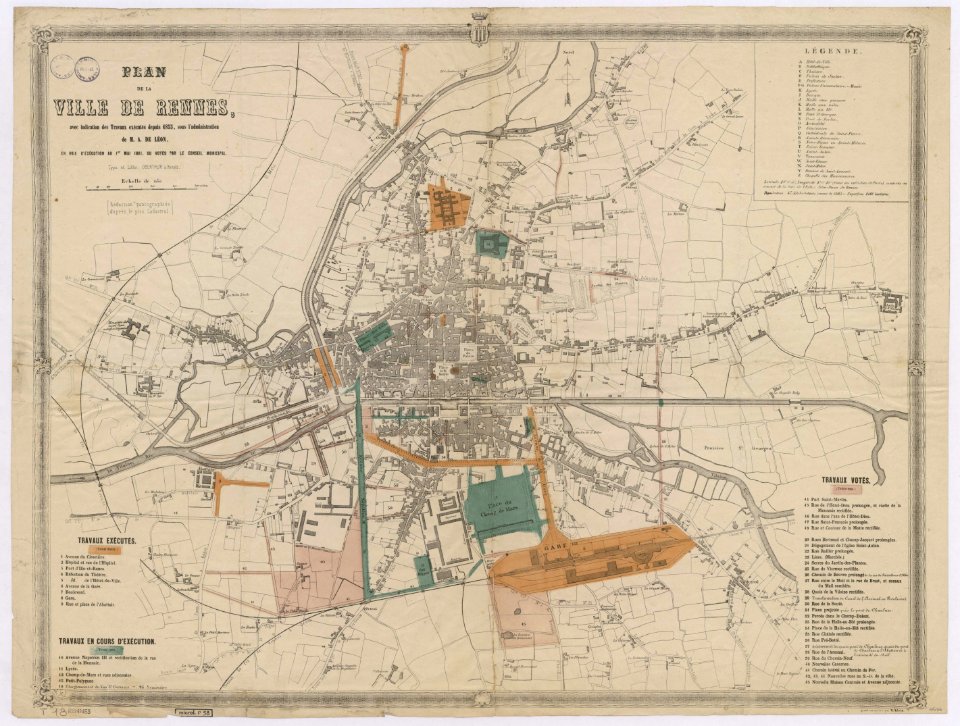
rennes in the 1850s
old maps of rennes
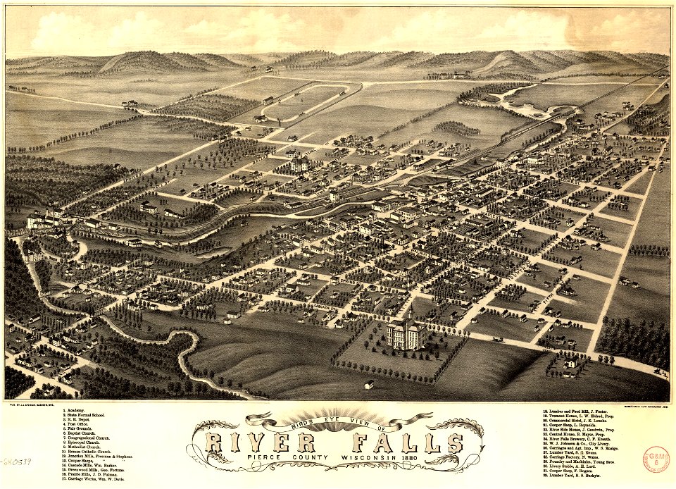
river falls
wisconsin
maps in the library of congress
pennsylvania
river falls
wisconsin
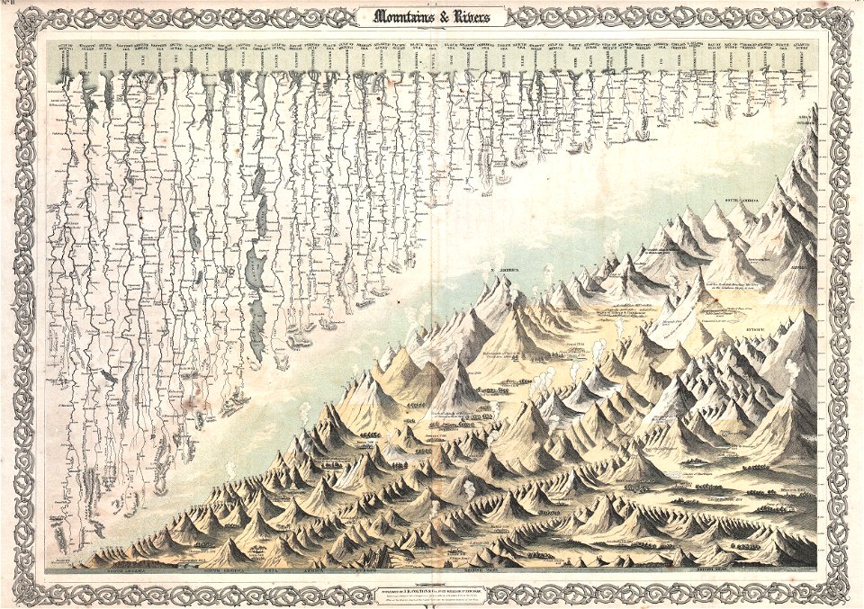
geographic comparison diagrams
diagrams of mountains
maps in the library of congress
pennsylvania
maps of the french and indian war
1768 maps
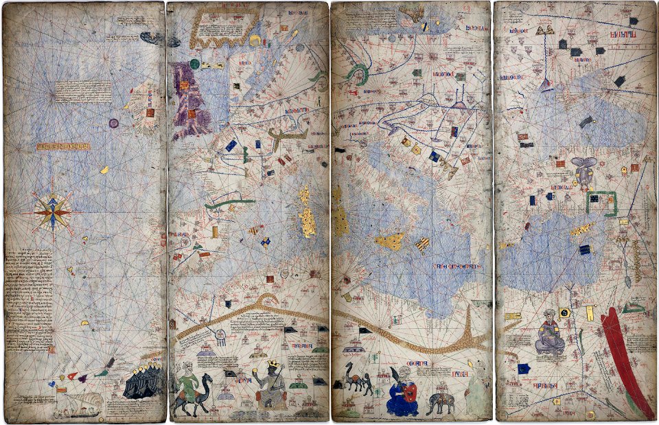
14th-century maps of the mediterranean sea
catalan atlas
14th-century maps of the mediterranean sea
catalan atlas
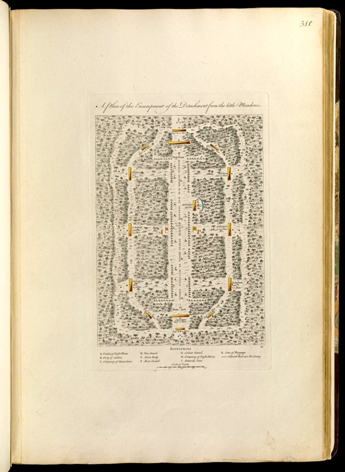
maps of the french and indian war
1768 maps
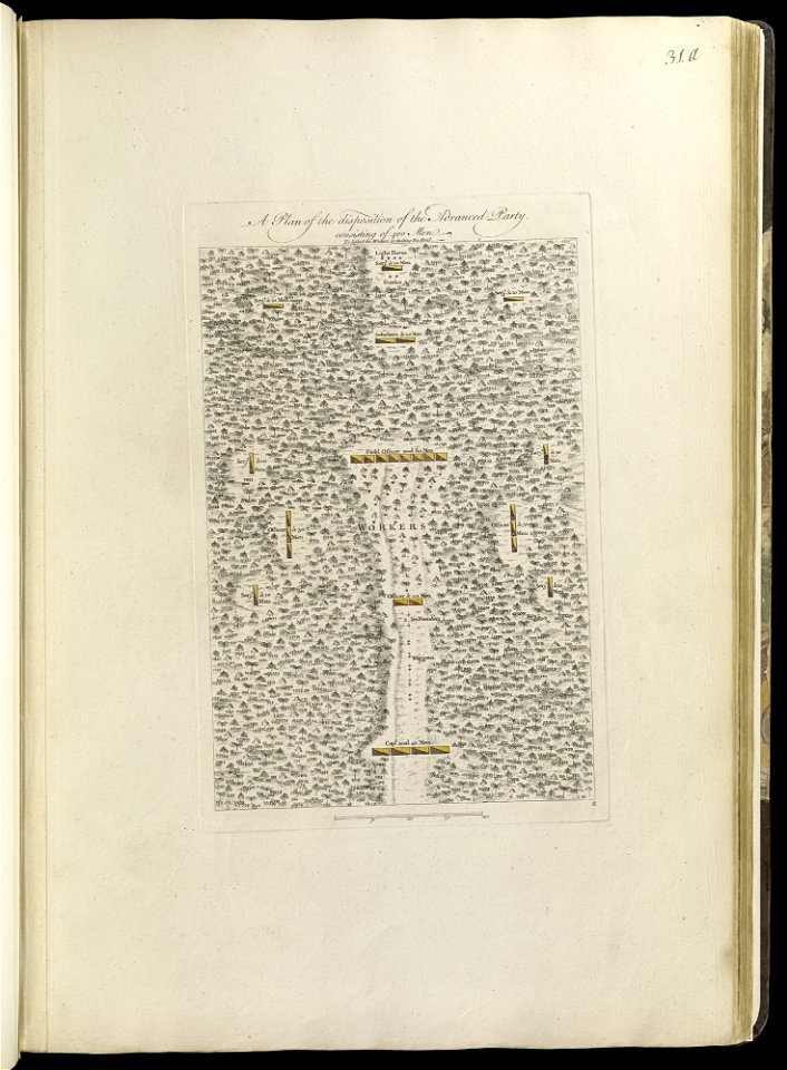
maps of the french and indian war
1768 maps
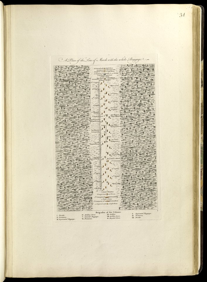
maps of the french and indian war
1768 maps
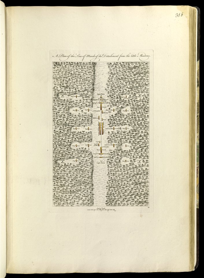
maps of the french and indian war
1768 maps
maps of the french and indian war
1768 maps
maps of the french and indian war
1786 maps
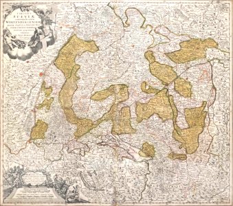
1720s maps of baden-württemberg
johann baptist homann
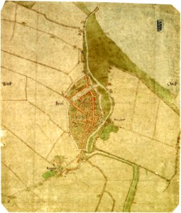
maps by jacob van deventer
old maps of brielle
maps by frederick de wit
copper engraving
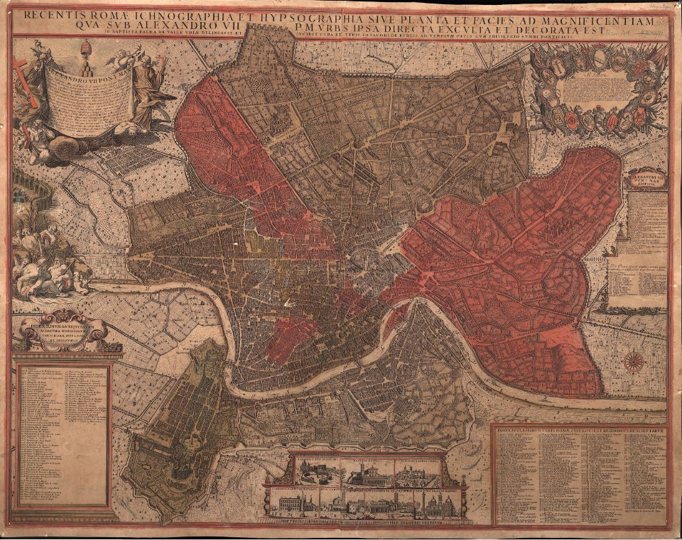
giovanni giacomo de rossi
giovanni battista falda
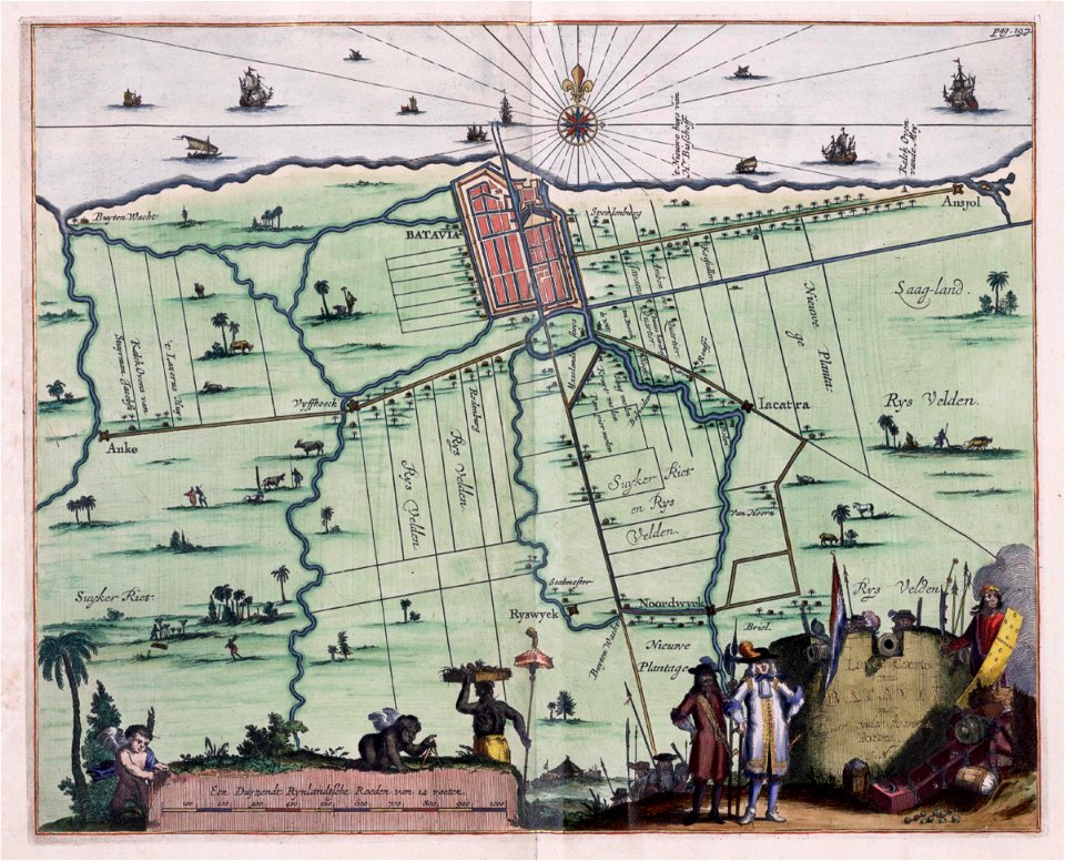
old maps of jakarta
1682)
maps of the dutch east india company - sri lanka
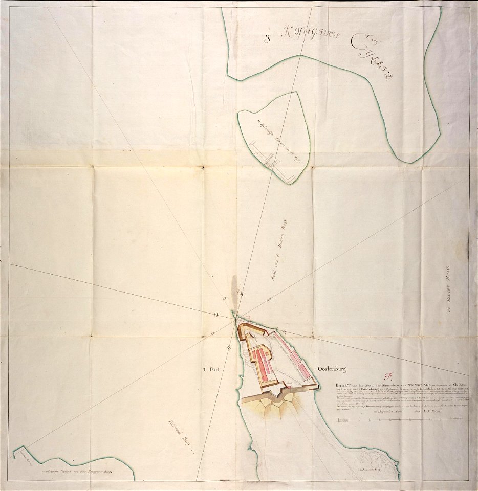
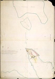
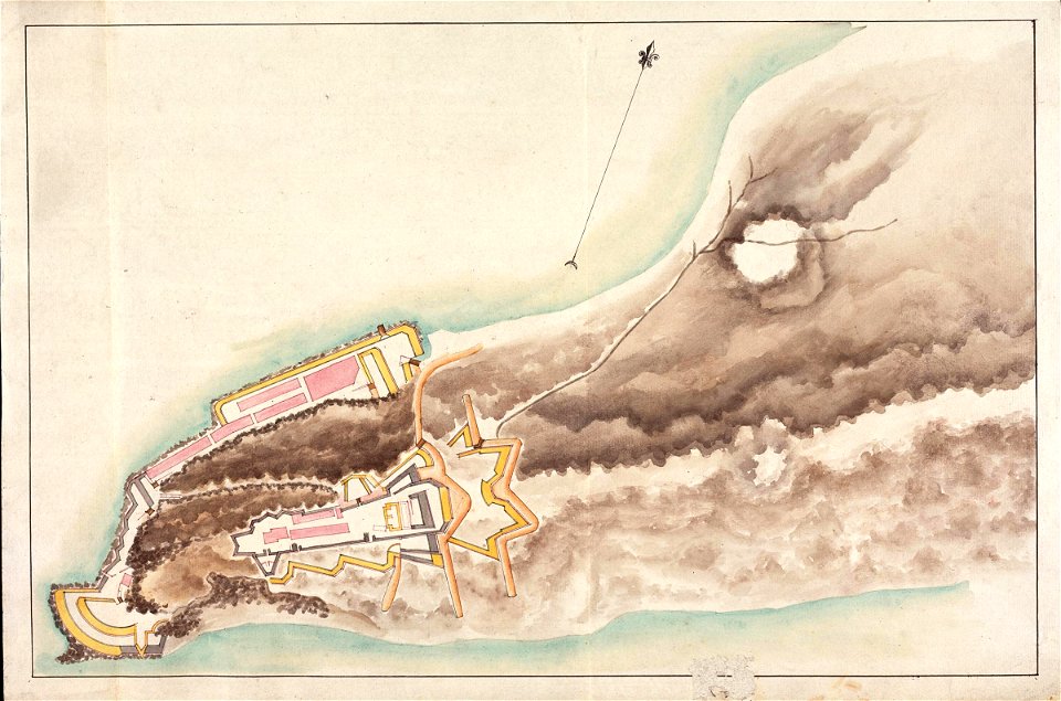
maps of fort fredrick
old maps of borneo
1750
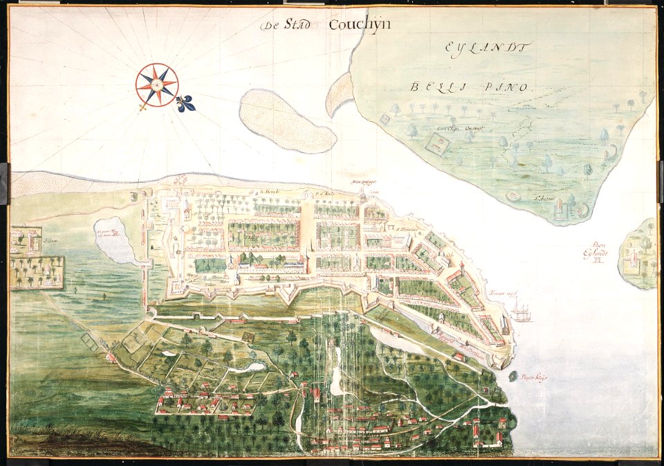
maps of the dutch east india company - india
1665
maps of the dutch east india company - sri lanka
1787
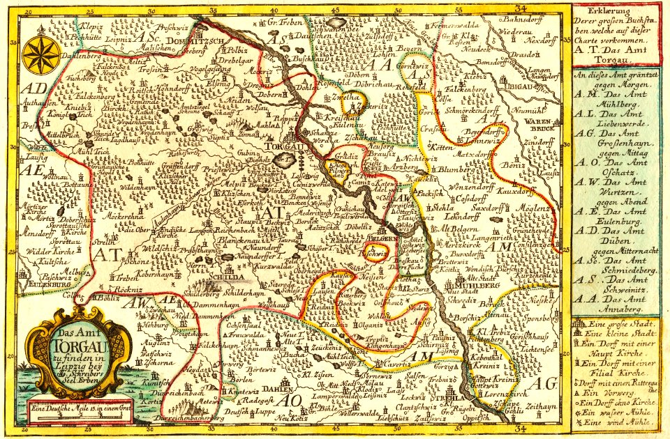
johann george schreiber
old maps of saxony
maps in the stadsarchief amsterdam
old maps of amsterdam
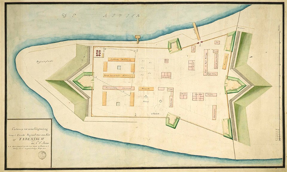
maps of the dutch east india company - sri lanka
1787 maps
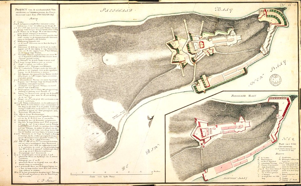
maps of the dutch east india company - sri lanka
maps of fort fredrick
maps of the dutch east india company - sri lanka
1787
maps of the dutch east india company - sri lanka
maps of fort fredrick
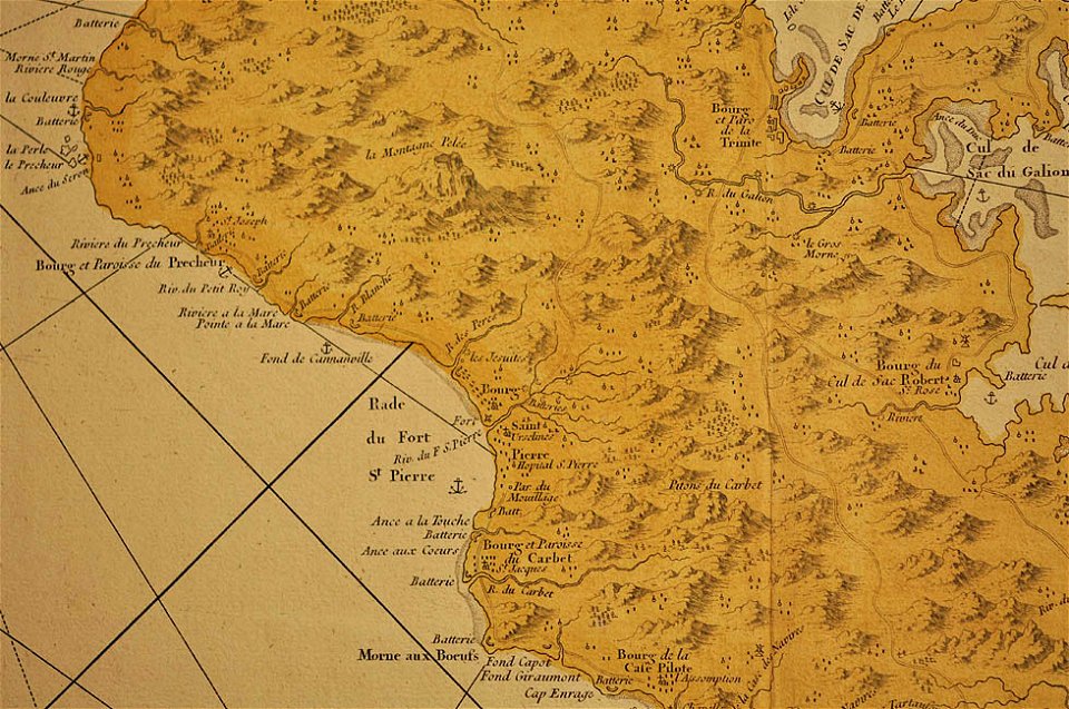
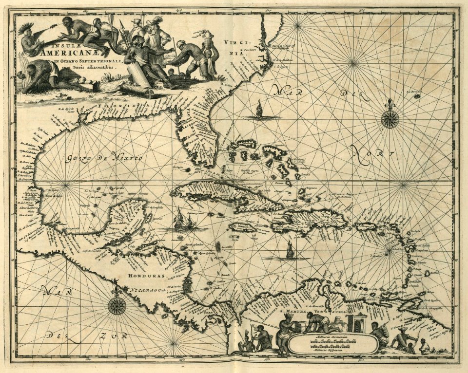
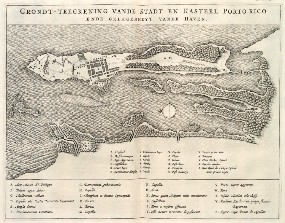
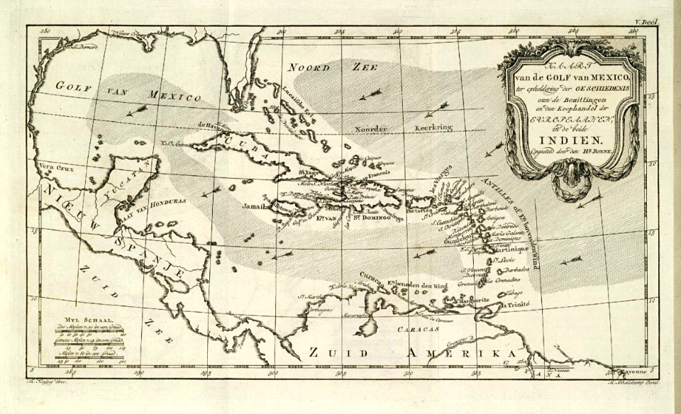
17th-century maps of the caribbean
1671
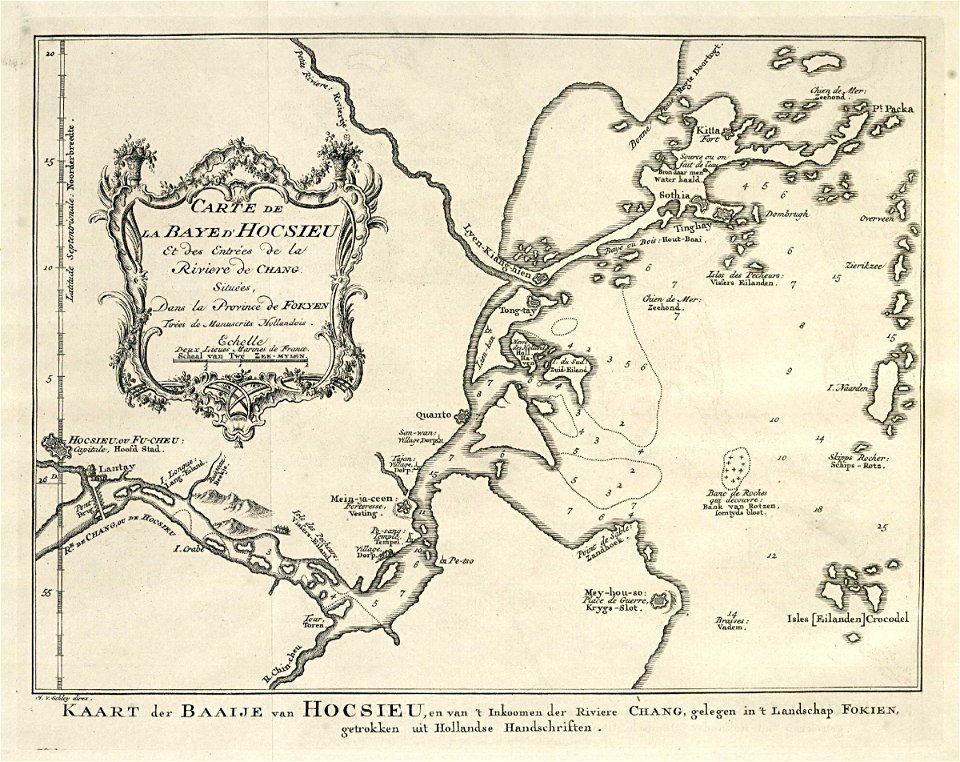
maps of the dutch east india company - china
1655)
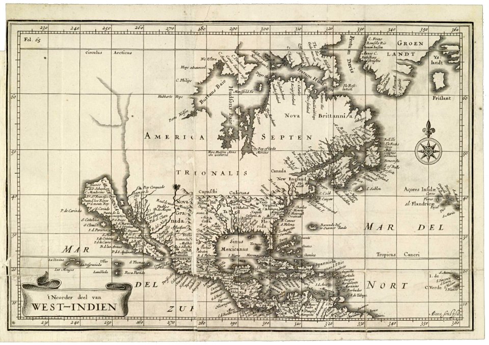
maps of the west-indische compagnie
1644
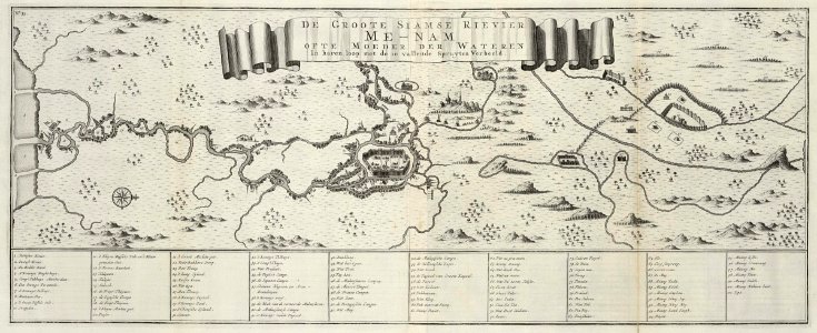
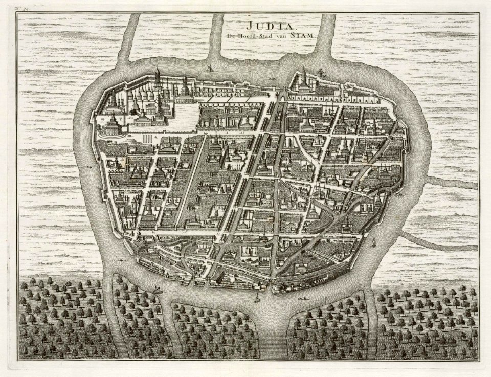
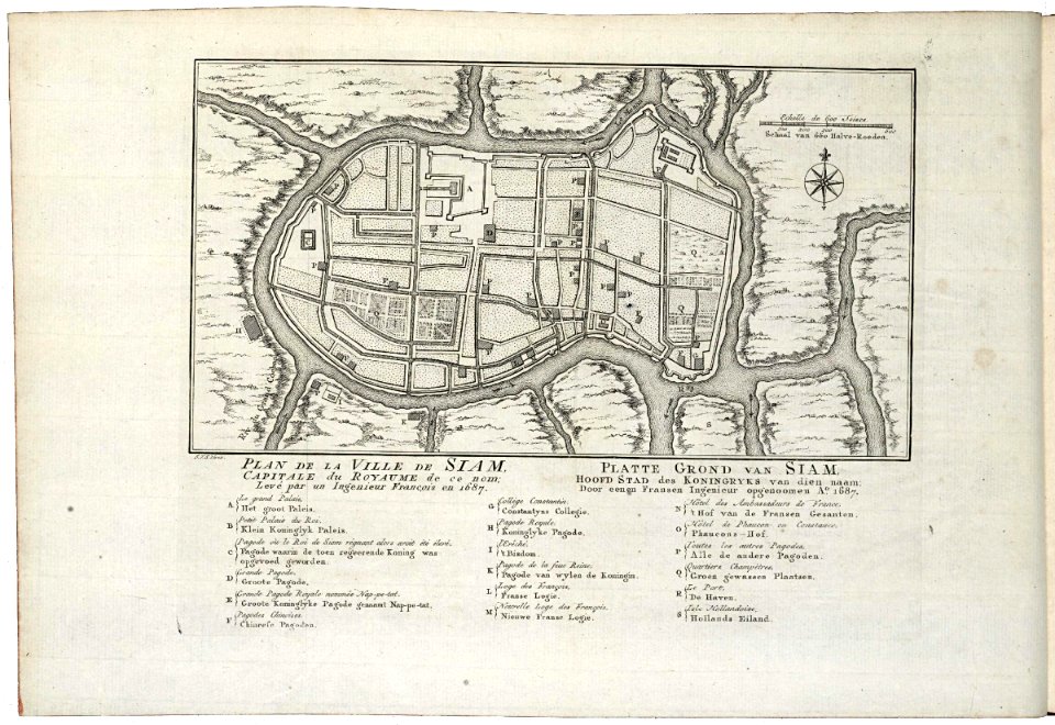
old maps of ayutthaya
1724
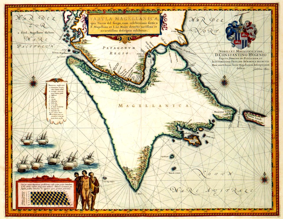
maps by willem and johannes blaeu
1635 maps
old maps of ayutthaya
1724
maps of the west-indische compagnie
1777
maps of the west-indische compagnie
abraham goos
old maps of ayutthaya
1753
maps of the dutch east india company - china
1749
maps of the dutch east india company - sri lanka
1753 maps
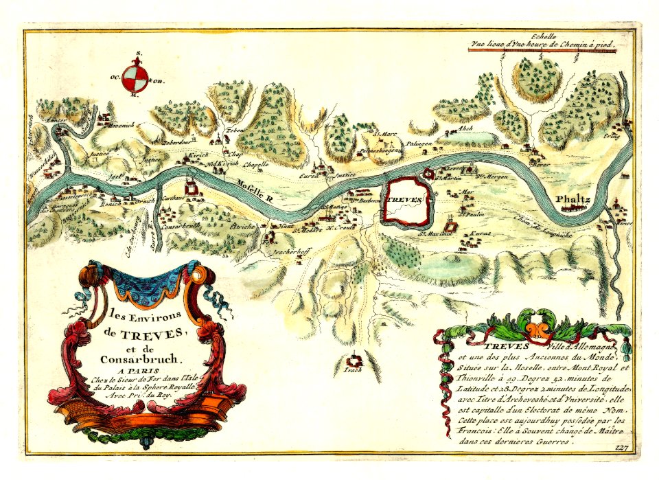
nicolas de fer
1692 maps
rennes in the 1850s
old maps of rennes
1861 in bretagne
1861 maps
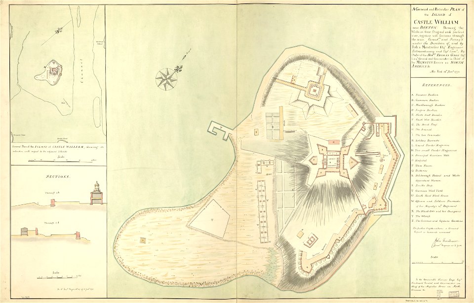
fort independence (massachusetts)
maps in the library of congress
massachusetts
o. h. bailey
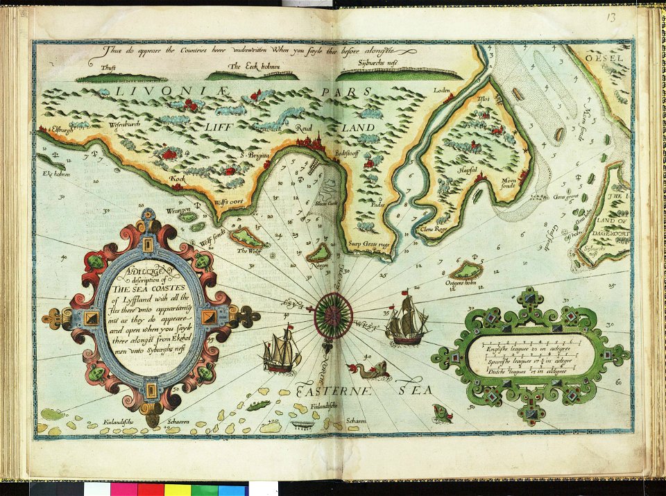
lucas janszoon waghenaer
1588 maps
lucas janszoon waghenaer
1588 maps
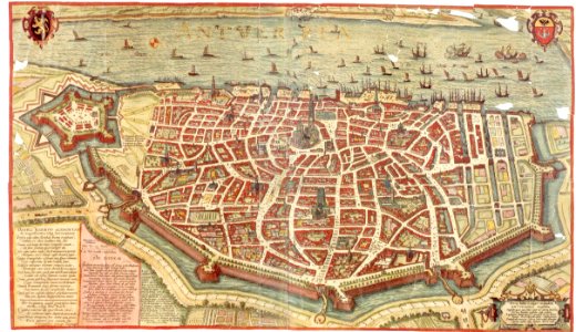
maps and topographical views by joris hoefnagel
maps of antwerp
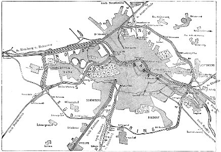
19th-century maps of berlin
maps by brockhaus
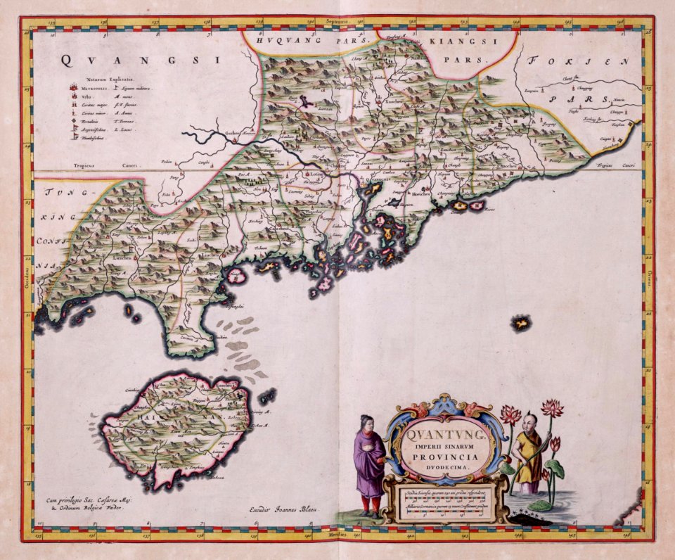
atlante veneto (raremaps.com) volume 2
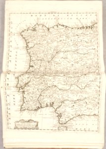
old maps of portugal
atlante veneto (raremaps.com) volume 2
old maps of france
atlante veneto (raremaps.com) volume 2
maps of milan
atlante veneto (raremaps.com) volume 2
old maps of louisiana
atlante veneto (raremaps.com) volume 2
old maps of russia
atlante veneto (raremaps.com) volume 2
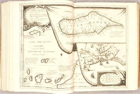
canary islands
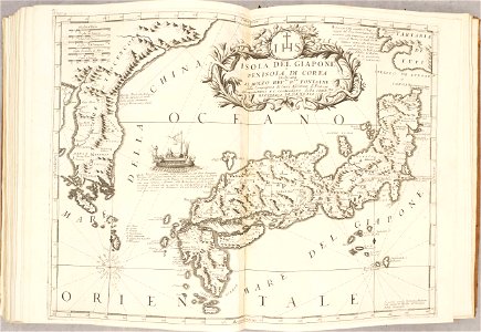
old maps of japan
old maps of korea
atlante veneto (raremaps.com) volume 2
old maps of poland
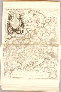
atlas van der hagen (volume 2)
maps with cartouches
maps of arras city walls
old maps of arras
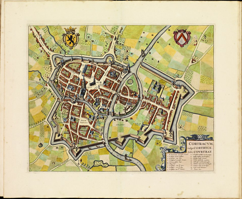
old maps of kortrijk
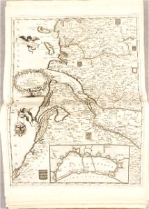
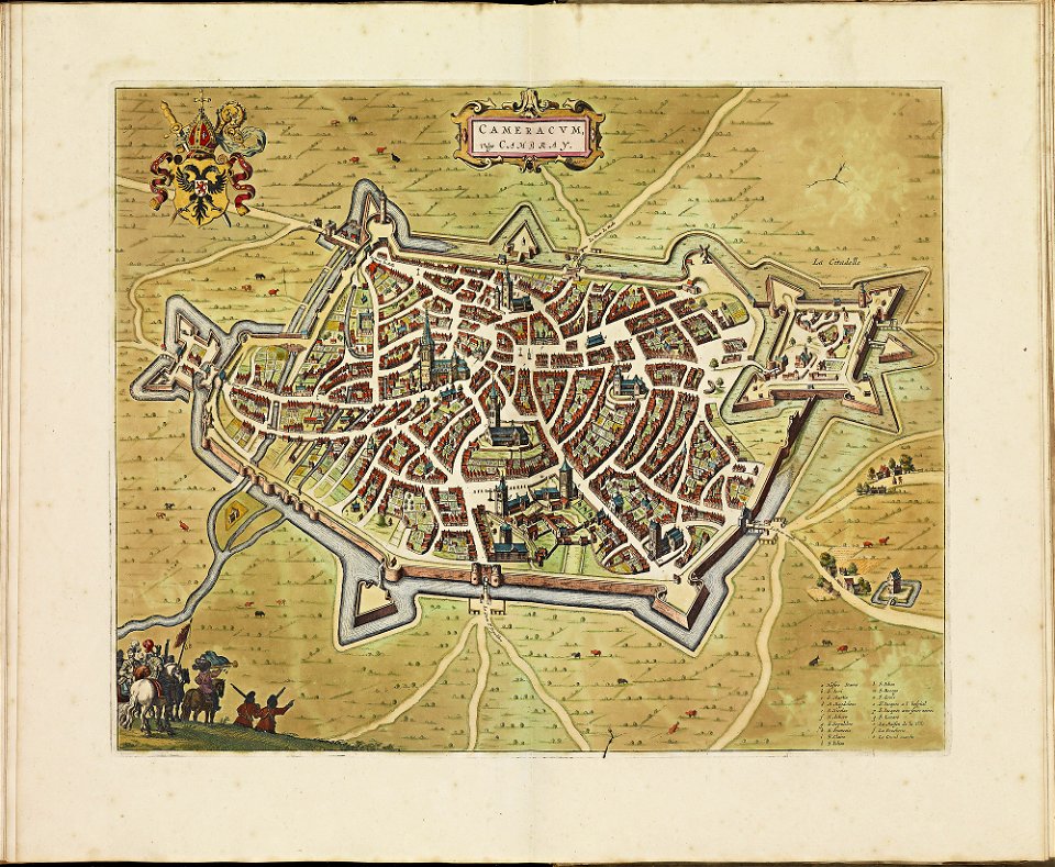
atlas de wit 1698
old maps of cambrai
atlas de wit 1698
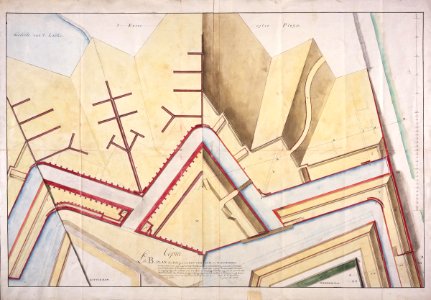
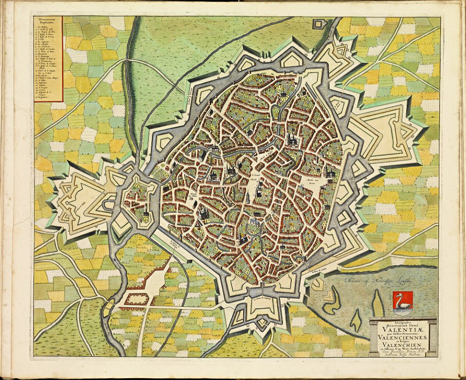
maps of valenciennes city walls
atlas de wit 1698
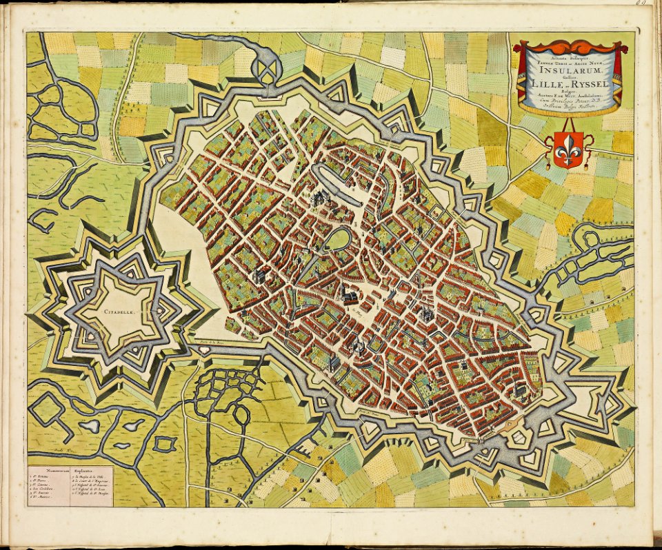
maps of lille city walls
atlas de wit 1698
latin-language maps
1630 maps
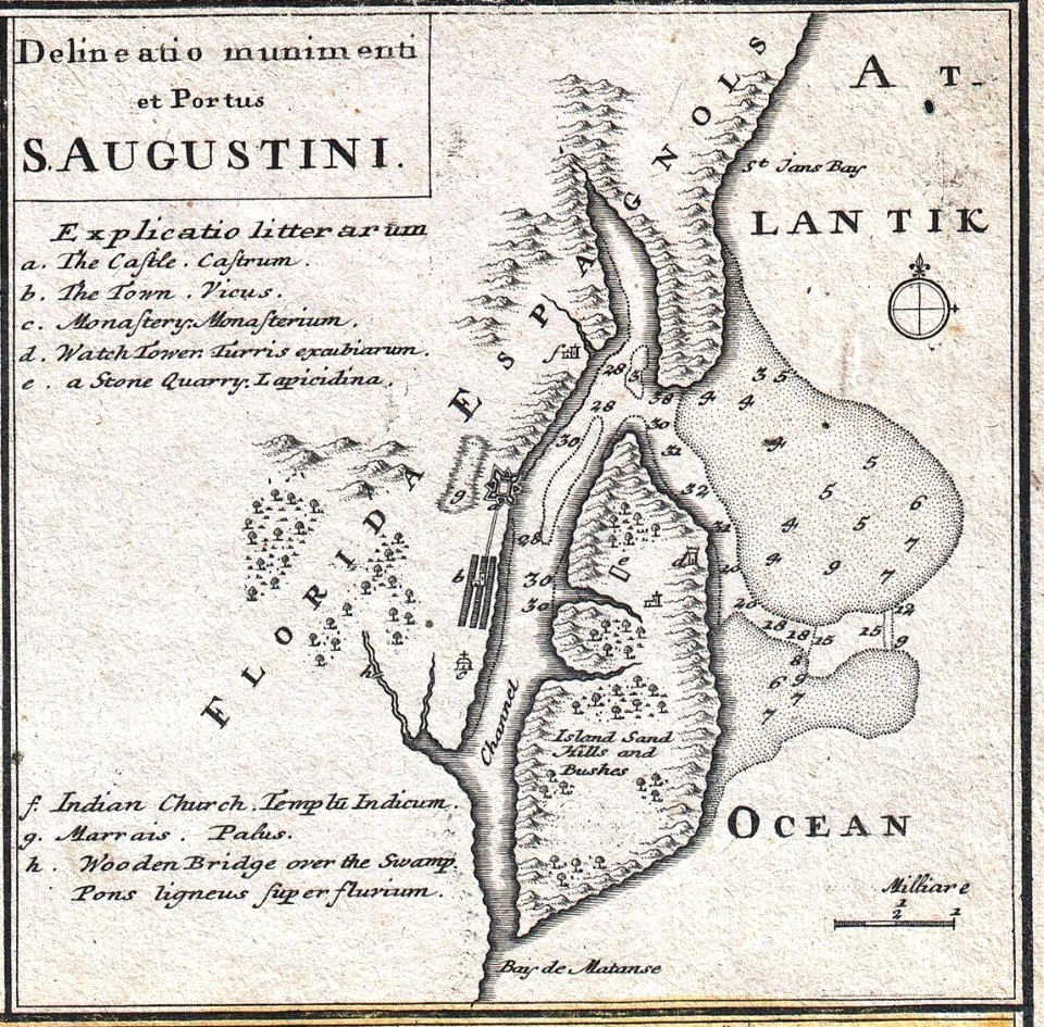
florida
1730s
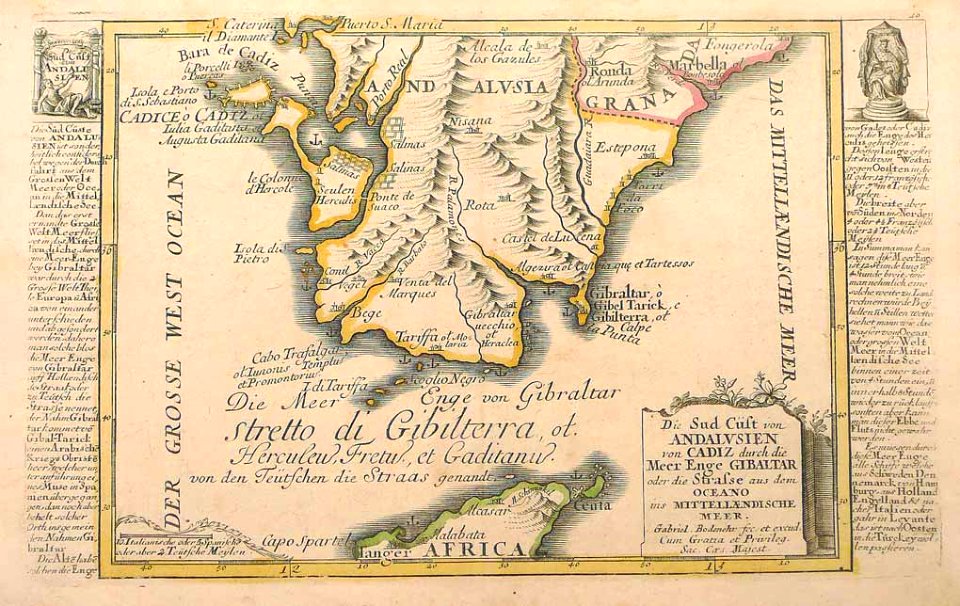
history of andalusia
gabriel bodenehr
dutch-language maps
johannes ratelband
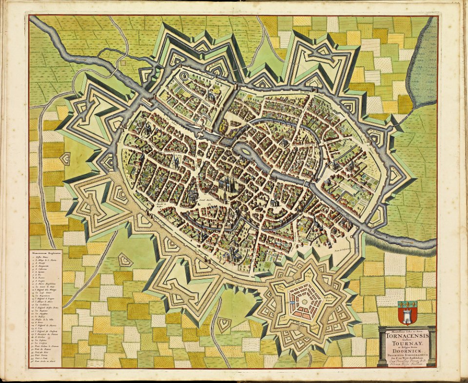
maps of tournai city walls
old maps of tournai
maps of hesdin city walls
old maps of hesdin
maps of veurne city walls
atlas de wit 1698
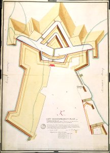
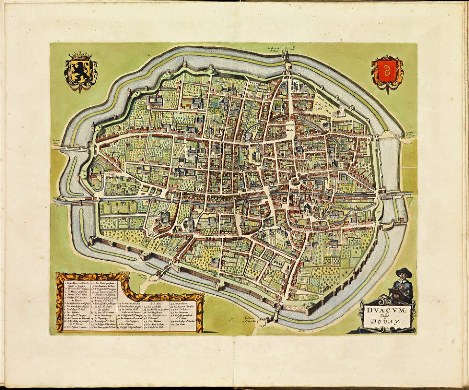
maps of douai city walls
atlas de wit 1698
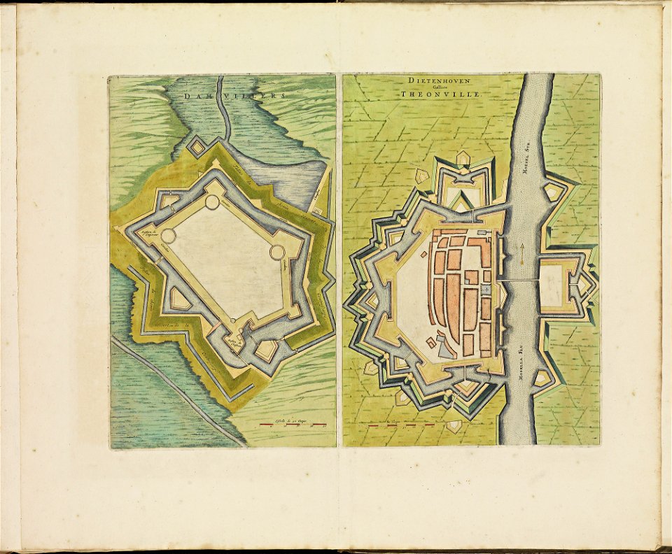
maps of thionville city walls
atlas de wit 1698
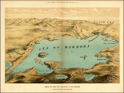
the illustrated london news 1878
maps of the sea of marmara
hill of tara
1879 maps
pennsylvania
carnegie
pennsylvania
carnegie
maps by pieter pourbus
1570s maps
pennsylvania
duquesne
1680s maps of baden-württemberg
1681 maps
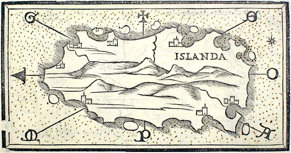
provided by landsbókasafn íslands
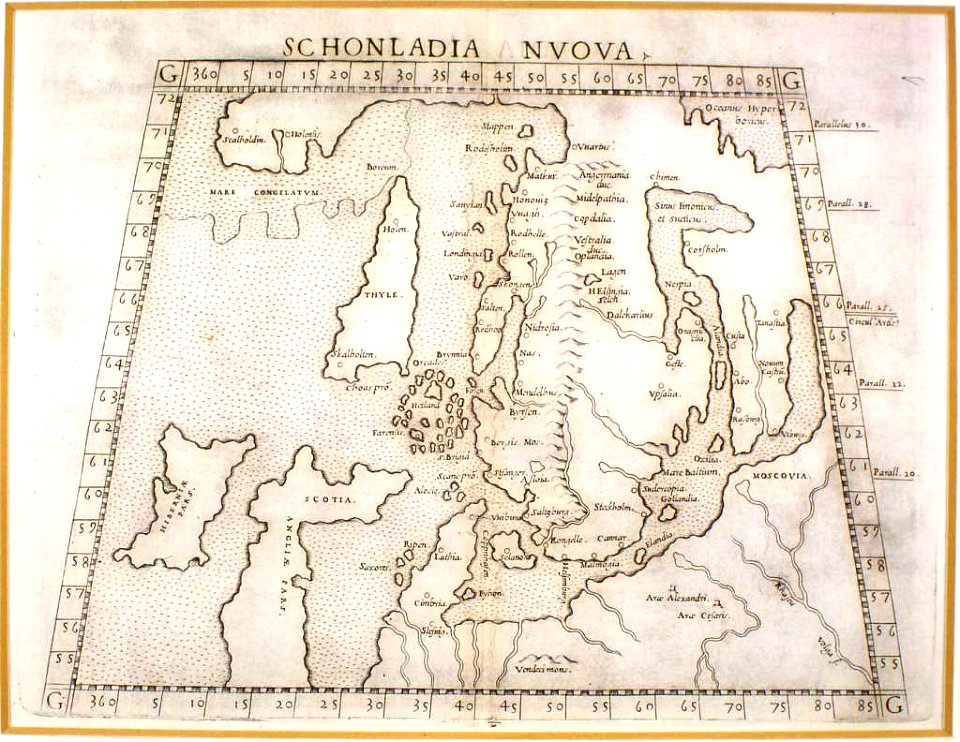
maps by giacomo gastaldi
provided by landsbókasafn íslands
16th-century maps of iceland
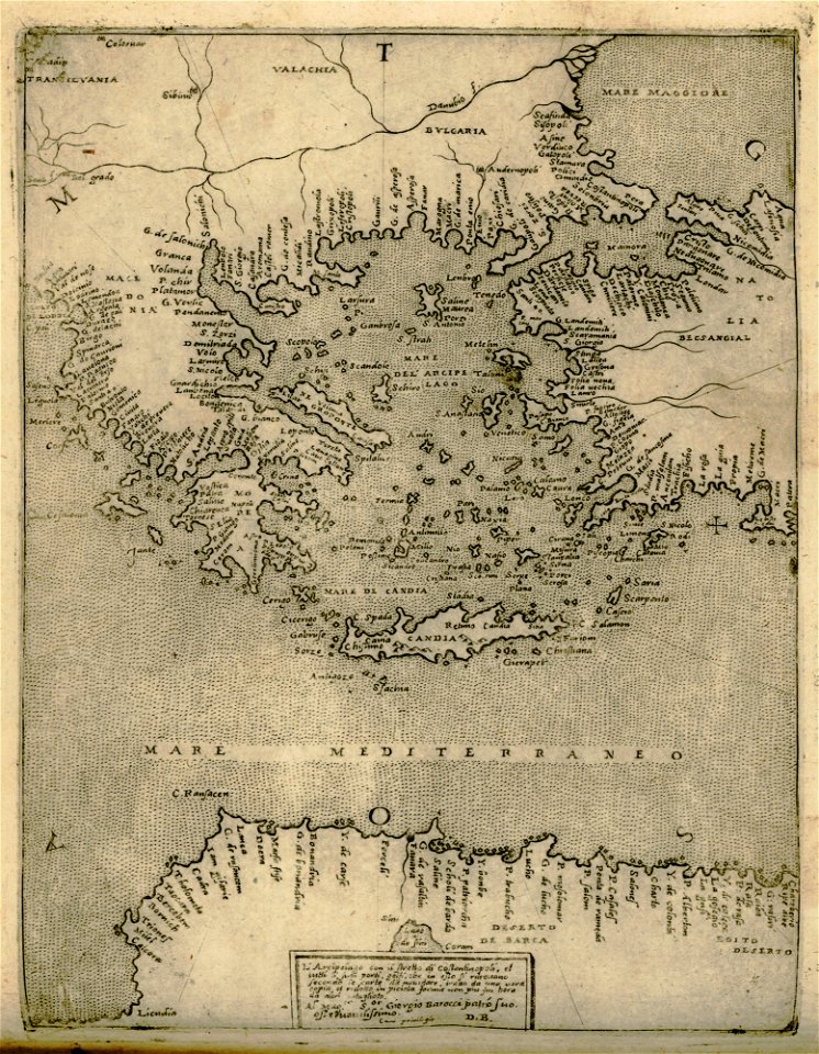
old maps of greece
giovanni camocio
description de l'universe
old maps of the nile
maps in the stadsarchief amsterdam
old maps of amsterdam
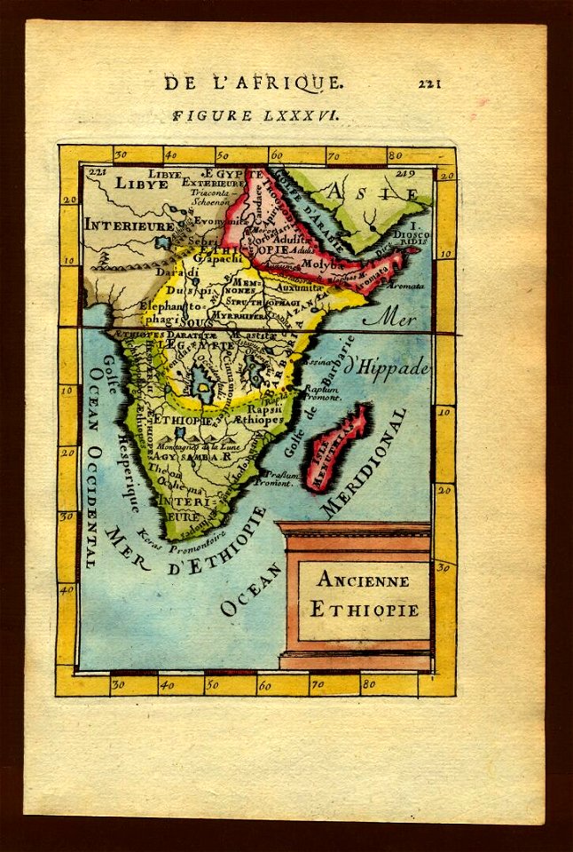
17th-century maps of ethiopia
description de l'universe
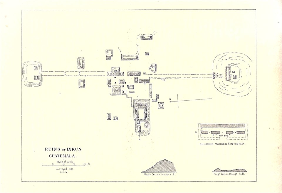
maps of the mayas
1899 books
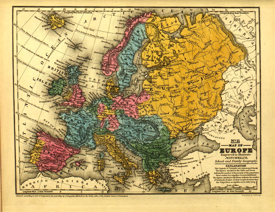
maps in the library of congress
mitchell's school atlas
maps in the library of congress
mitchell's school atlas
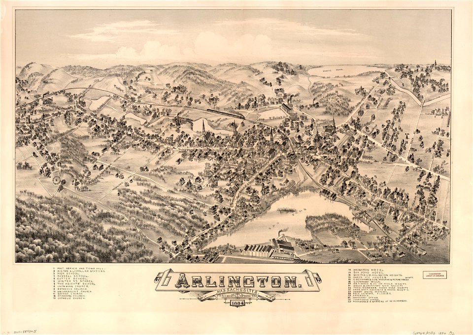
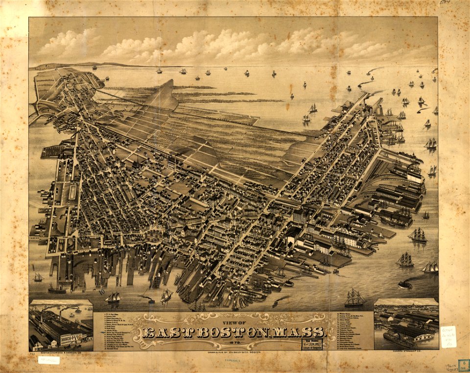
maps in the library of congress
o. h. bailey
maps in the library of congress
o. h. bailey
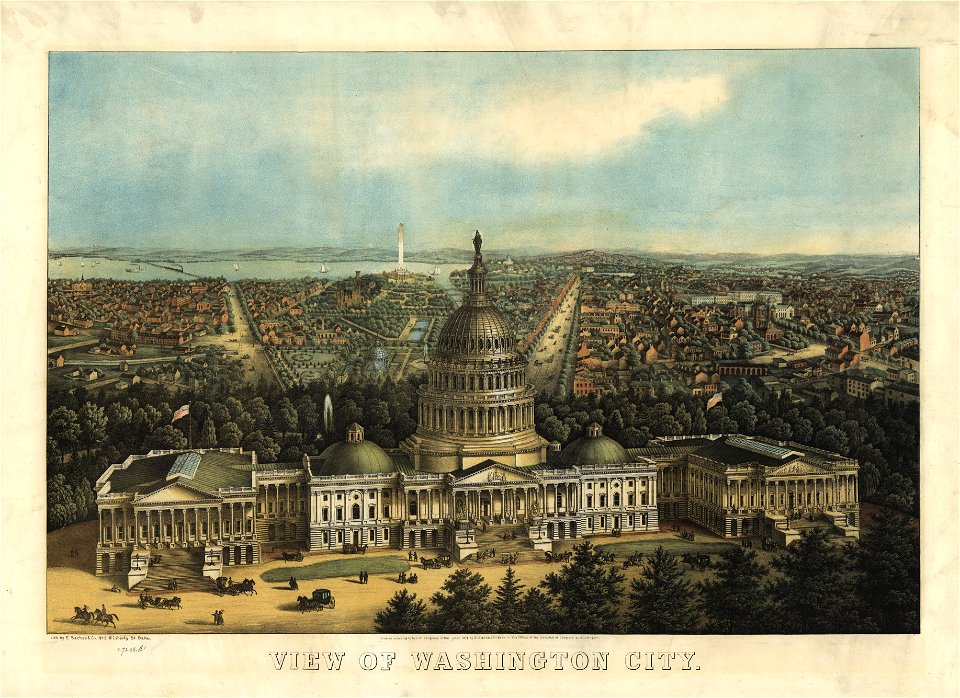
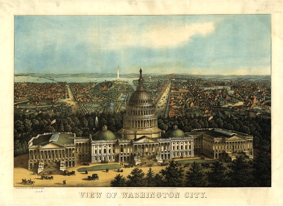
maps in the library of congress
united states capitol in art
maps in the library of congress
united states capitol in art
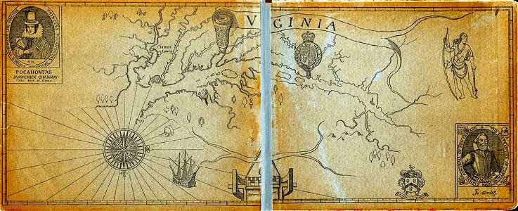
old maps of virginia
captain john smith
geographical illustrations by coronelli
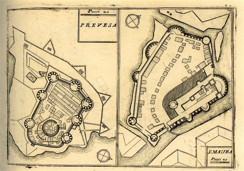
maps of lefkada
5101 - 5200 of 40,209
Next page
/ 403